Muir Way Maps
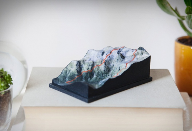
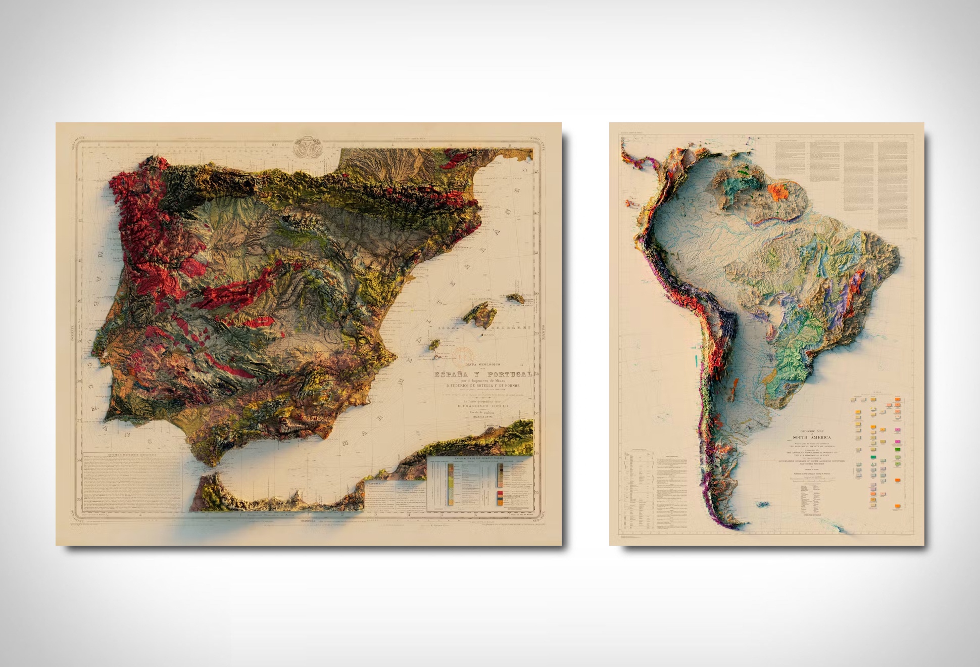
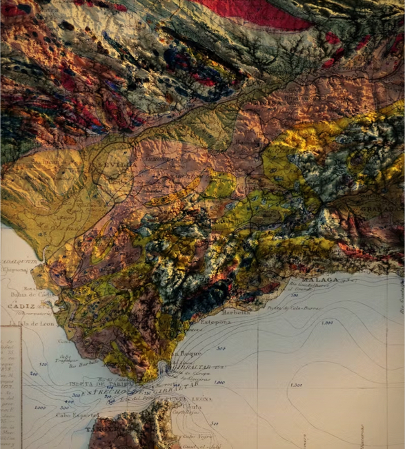
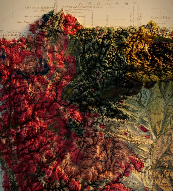
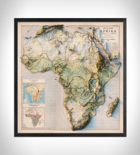
Muir Way offers stunning topographic, elevation, vintage relief, and hydrology maps, printed to create a unique 3D effect. Crafted on archival, museum-quality paper, these maps are available in 3D Topography or Shaded Relief formats, providing a distinct and artistic view.
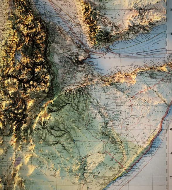
For the Shaded Relief format, Muir uses digital elevation data, meticulously adding shaded relief to enhance the landscape, giving it a three-dimensional appearance. Printed on gallery-quality fine art paper in their San Diego shop, these maps are a true labor of love.
The 3D Topography maps are printed, heated, and vacuum-formed over detailed 3D molds, crafted with precision using NASA elevation data. This process results in an exceptionally accurate and tactile representation, allowing you to visually and physically explore the mapped area in detail. Ideal for both art lovers and geography enthusiasts, Muir Way maps beautifully blend cartography with artistic craftsmanship.