
stuff we drool about

Beer Cap Maps

Beer Cap Maps is an interesting and fun item developed for guys that love to collect their beer caps, but also want to display them by adding them onto the corresponding state’s finest breweries, from which they were crafted, making it all the more interesting and thus combining an existing habit that may improve your geography knowledge. Each map is made from veneered plywood; with precision cut small holes where you can fit the crowns of your latest six-pack. You can order your USA map or an individual state map, for the US also. They also make maps for the British Isles, Canada, Mexico, Germany…it´s a great way to show off your beer taste and knowledge, plus add some color to the room you hang it in or just to get a conversation started in your office hall.



beer-cap-maps-2.jpg | Image

beer-cap-maps-3.jpg | Image

beer-cap-maps-4.jpg | Image

beer-cap-maps-5.jpg | Image

THE SILVER ARROWS PROJECT - Image

THE SILVER ARROWS PROJECT

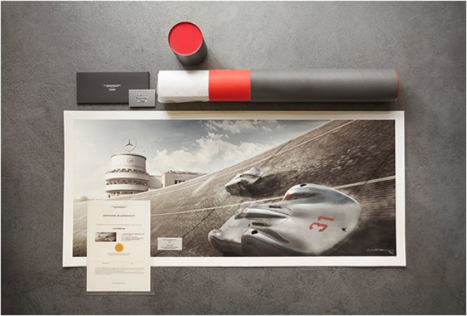
The Silver Arrows Project is a remarkable limited series of vintage racing prints that recreate the legendary silver cars of Mercedes-Benz and Auto Union. Using a combination of original photography with the most advanced 3D graphics, the end result is pretty amazing, with impressive details that could never have been captured with the photographic technology of the time. The beautiful series recreates the story of the Silver Arrows using memorable moments from 12 d...
read more
MELTING CLOCK - Image

MELTING CLOCK

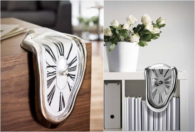
The Melting Clock is inspired by the famous Dali painting "The Persistence of Memory", the well-known surrealist painting introduced the image of the soft melting pocket watch. The clock was designed to be used on a shelf or hanging on your office desk. Although awkward, it is balanced as a common clock and its mechanisms work perfectly. A cool gift idea! ...
read more
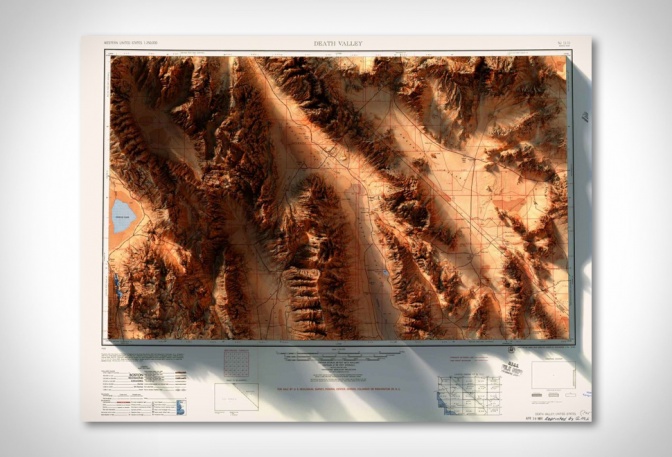
3D Historic Topographic Maps - Image

3D Historic Topographic Maps

Brooklyn-based graphic designer Scott Reinhard combines contemporary land elevations with vintage historic maps to create beautiful three-dimensional environments of a specific region, city, or state. Each design consists of a decades-old topographic layer and a computer generated elevation, complete with shadows. We are loving the attention to detail that has gone into each and every one, and the end result is an image that looks like it is popping off the page. Yo...
read more