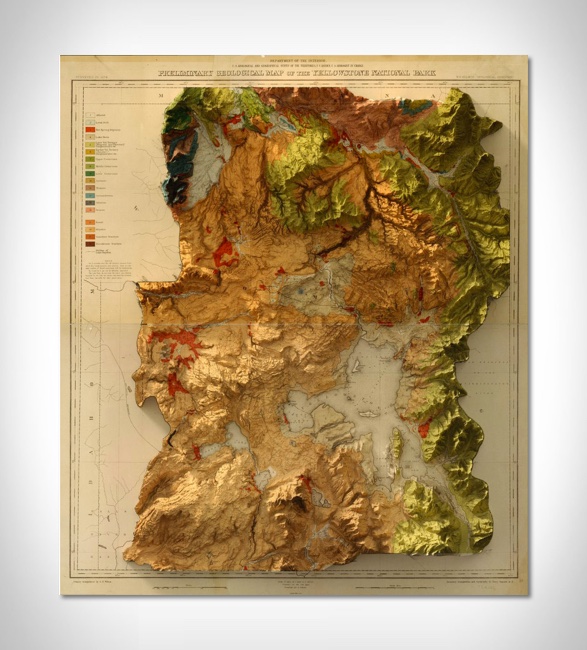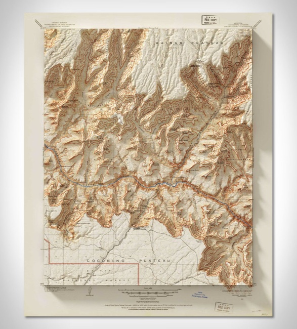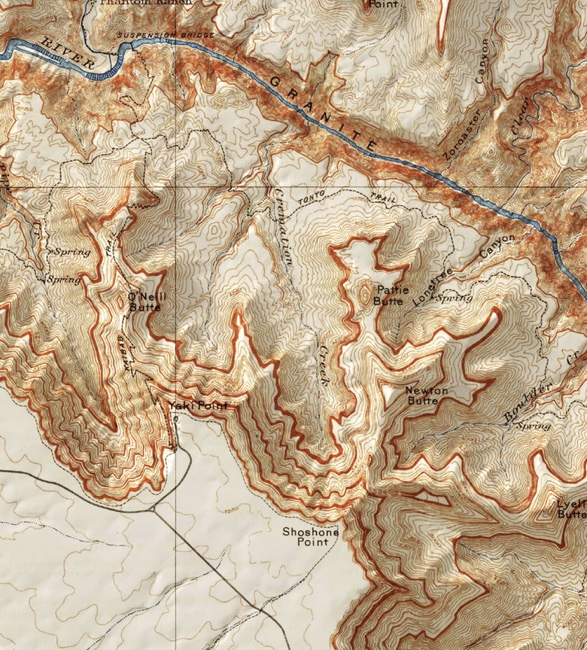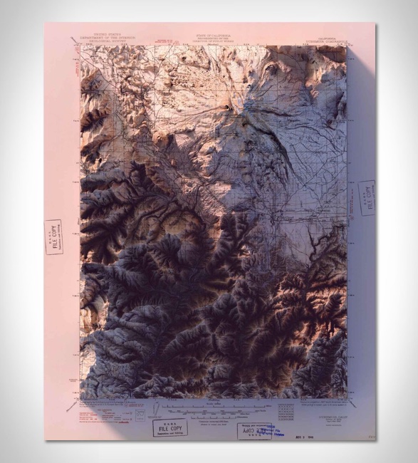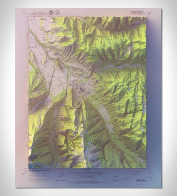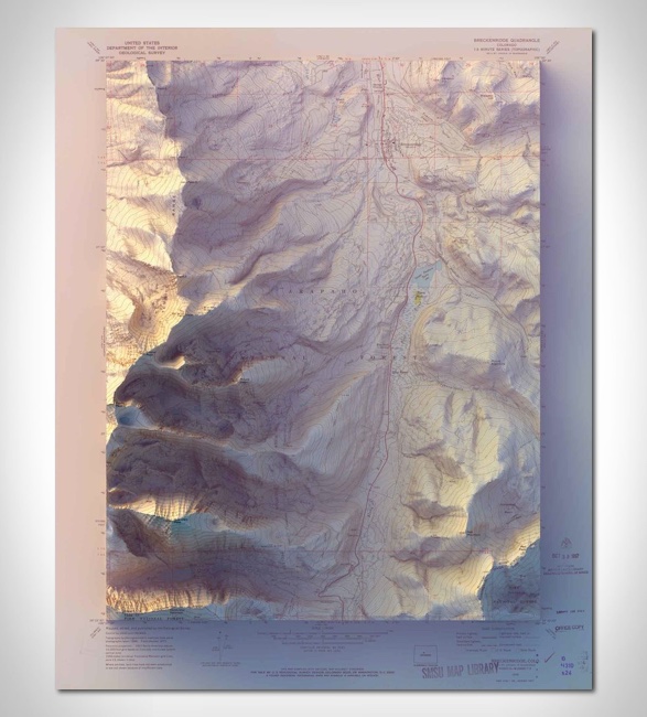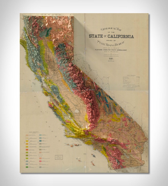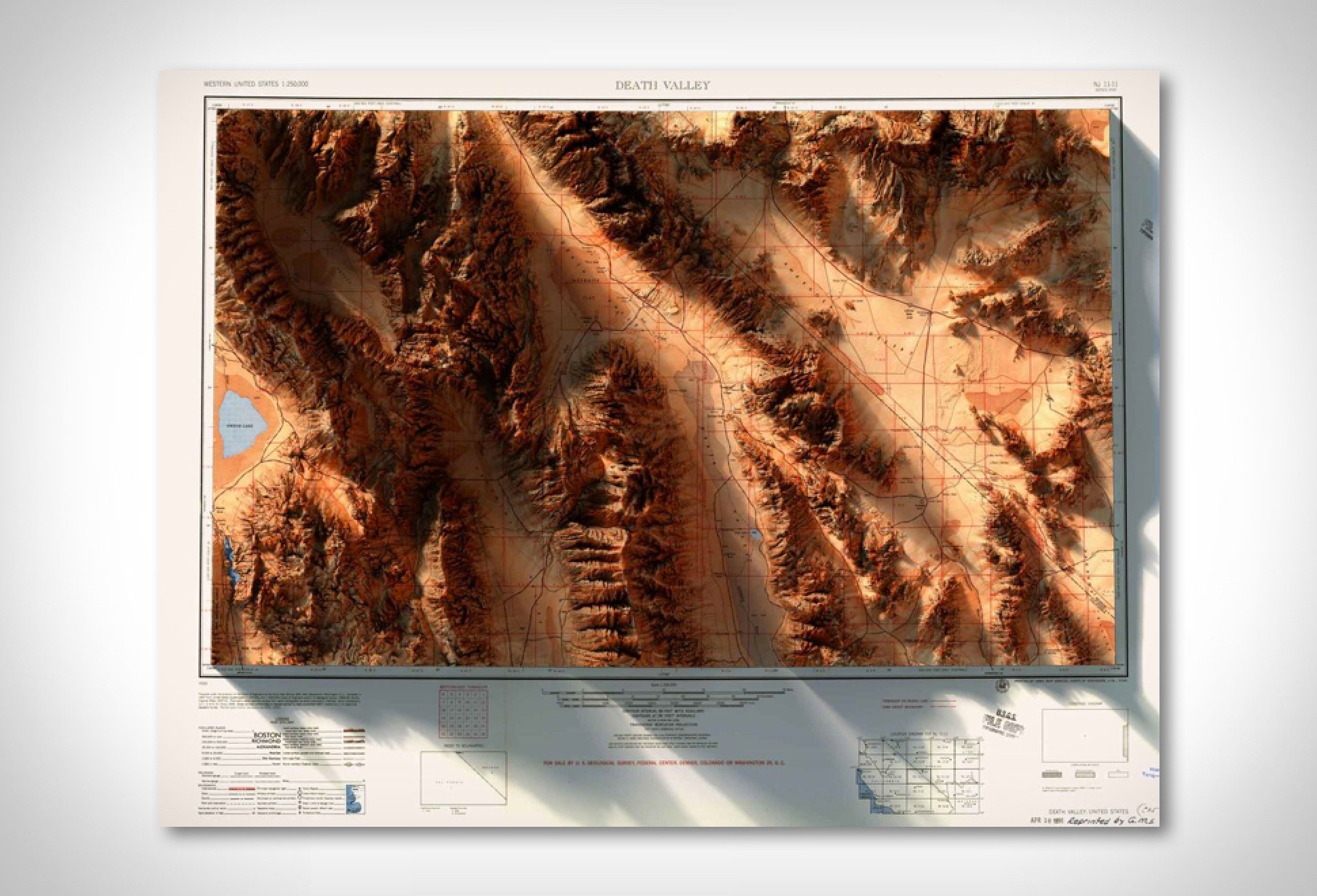
3D Historic Topographic Maps
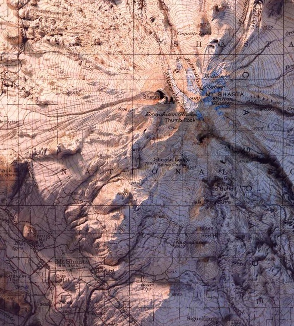
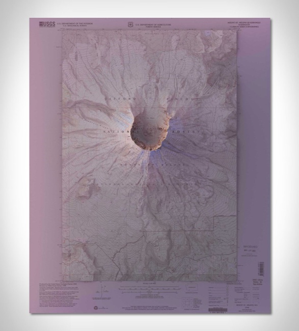
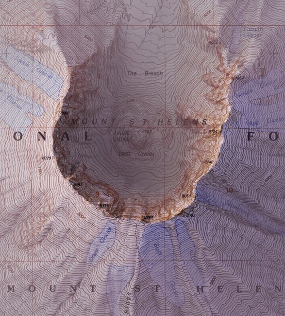
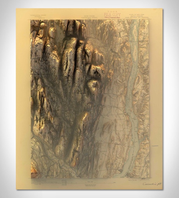
Brooklyn-based graphic designer Scott Reinhard combines contemporary land elevations with vintage historic maps to create beautiful three-dimensional environments of a specific region, city, or state. Each design consists of a decades-old topographic layer and a computer generated elevation, complete with shadows. We are loving the attention to detail that has gone into each and every one, and the end result is an image that looks like it is popping off the page. You can pick from places like Yellowstone, Glacier National Park, Portland, Oregon or states like New Mexico, California, and more. Each one is a high-quality chromogenic print on Lustre photographic paper, and you can choose it to come framed if you wish.